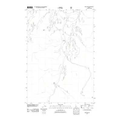
2011 Map of Rice Peak
USGS Topo · Published 2011About this map
The South Fork Salmon River carves a central path through this Idaho mountain landscape, serving as the primary drainage for numerous tributaries like Tyndall Creek, Rice Creek, and Yellow Jacket Creek. This 2011 survey documents a region defined by high-elevation landmarks and active natural features, most notably Vulcan Hot Springs located along the river's edge. Human activity is represented by the Eureka Silver King Mine, while the valley floor at Stolle Meadows provides a point of reference among the surrounding peaks.
Find a feature on this map
21 named features on this map. Tap any name to fly to it.
Don’t see what you’re looking for? This feature index may not catch every label — zoom into the map to look around manually.
Map Details
Editions of this 2011 Rice Peak Map
This is the sole edition of this map. No revisions or reprints were ever made.
Other maps of this area

1909 · Garden Valley
USGS Topo · 1:125,000

1953 · Boiling Springs
USGS Topo · 1:62,500

1953 · Deadwood Reservoir
USGS Topo · 1:62,500

1954 · Gold Fork
USGS Topo · 1:62,500

1954 · Warm Lake
USGS Topo · 1:62,500

1957 · Challis
USGS Topo · 1:250,000

1960 · Challis
USGS Topo · 1:250,000

1963 · Challis
USGS Topo · 1:250,000

1982 · Pistol Creek
USGS Topo · 1:100,000

1982 · Deadwood River
USGS Topo · 1:100,000