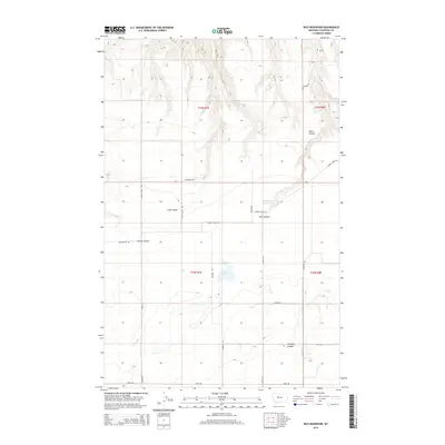
2014 Map of Rice Reservoir
USGS Topo · Published 2014About this map
Rice Reservoir and Birkeland Reservoir anchor this section of the Montana high plains, where the land is carved by a network of drainage features and intermittent watercourses. The terrain is defined by deep coulees, including the winding Short Coulee and Long Coulee, which disrupt the otherwise orderly grid of the Public Land Survey System. These natural draws dictate the paths of early travel routes and modern county roads alike.
Find a feature on this map
25 named features on this map. Tap any name to fly to it.
Don’t see what you’re looking for? This feature index may not catch every label — zoom into the map to look around manually.
Map Details
Editions of this 2014 Rice Reservoir Map
This is the sole edition of this map. No revisions or reprints were ever made.
Other maps of this area

1890 · Fort Benton
USGS Topo · 1:250,000

1892 · Fort Benton
USGS Topo · 1:250,000

1897 · Fort Benton
USGS Topo · 1:250,000

1953 · Carter
USGS Topo · 1:24,000

1953 · Tunis
USGS Topo · 1:24,000

1954 · Great Falls
USGS Topo · 1:250,000

1954 · Rice Reservoir
USGS Topo · 1:24,000

1954 · Fort Benton
USGS Topo · 1:24,000

1954 · Lander Crossing
USGS Topo · 1:24,000

1954 · Waltham
USGS Topo · 1:24,000