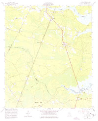
1955 Map of Riceboro
USGS Topo · Published 1977About this map
Riceboro and its surrounding wetlands serve as the focal point of this coastal Georgia survey, which details the complex hydrological and social landscape of the mid-1950s. The Seaboard Air Line railroad and a prominent Telephone Line slice through the terrain, connecting small rural hubs like Lecount and Retreat. Significant marshy expanses, including Bull Town Swamp and Big Mortar Swamp, dominate the low-lying geography between the North Creek and the South Newport River.
Find a feature on this map
40 named features on this map. Tap any name to fly to it.
Don’t see what you’re looking for? This feature index may not catch every label — zoom into the map to look around manually.
Map Details
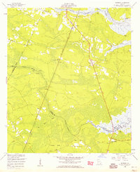
Editions of this 1955 Riceboro Map
2 editions found
Other maps of this area

1918 · Hinesville
USGS Topo · 1:62,500

1920 · Sapelo River
USGS Topo · 1:62,500

1920 · Limerick
USGS Topo · 1:62,500

1943 · Ludowici
USGS Topo · 1:62,500

1943 · Sapelo River
USGS Topo · 1:62,500

1944 · Hinesville
USGS Topo · 1:62,500

1944 · Limerick
USGS Topo · 1:62,500

1945 · Sapelo River
USGS Topo · 1:62,500

1946 · Brunswick
USGS Topo · 1:250,000

1948 · Brunswick
USGS Topo · 1:250,000