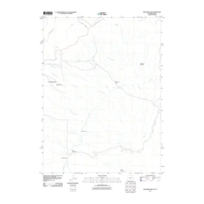
2011 Map of Richards Gap
USGS Topo · Published 2011About this map
Greenhough Place and the high desert of the Wyoming-Utah border define this landscape of deep draws and seasonal springs. The terrain is shaped by an intricate network of watercourses, including Red Creek, Snow Creek, and Ely Creek, which carve through the Red Creek Basin and the striking Red Creek Badlands. Evidence of local industry and infrastructure appears in the southern portion of the quadrangle near Coal Mine Draw and along the Clay Basin Pipeline Rd, indicating the area's geological and energy significance.
Find a feature on this map
26 named features on this map. Tap any name to fly to it.
Don’t see what you’re looking for? This feature index may not catch every label — zoom into the map to look around manually.
Map Details
Editions of this 2011 Richards Gap Map
This is the sole edition of this map. No revisions or reprints were ever made.
Other maps of this area

1885 · Ashley
USGS Topo · 1:250,000

1952 · Willow Creek Butte
USGS Topo · 1:24,000

1952 · Clay Basin
USGS Topo · 1:24,000

1952 · Goslin Mtn
USGS Topo · 1:24,000

1954 · Vernal
USGS Topo · 1:250,000

1954 · Rock Springs
USGS Topo · 1:250,000

1957 · Currant Creek Ranch
USGS Topo · 1:62,500

1958 · Vernal
USGS Topo · 1:250,000

1958 · Rock Springs
USGS Topo · 1:250,000

1960 · Vernal
USGS Topo · 1:250,000