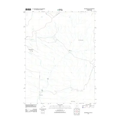
2012 Map of Richards Gap
USGS Topo · Published 2012About this map
Greenhough Place sits at the heart of this high-altitude landscape, where the terrain transitions from the Greenhough Flats into a complex network of seasonal drainages and springs. The map documents a rugged corner of Sweetwater County defined by the Tepee Mountains to the south and the dramatic Red Creek Badlands to the northeast. Water management and resource extraction are central themes of the area, evidenced by the Clay Basin Pipeline Rd and labels like Coal Mine Draw and Trough Draw. Named water sources such as Beef Steer Spring, Jones Springs, and Brown Spring highlight the historical importance of reliable water for livestock in this arid environment. The prominent pass at Richards Gap provides a natural corridor through the hills, while the Red Creek Basin serves as a major catchment for the area’s many creeks.
Find a feature on this map
27 named features on this map. Tap any name to fly to it.
Don’t see what you’re looking for? This feature index may not catch every label — zoom into the map to look around manually.
Map Details
Editions of this 2012 Richards Gap Map
This is the sole edition of this map. No revisions or reprints were ever made.
Other maps of this area

1885 · Ashley
USGS Topo · 1:250,000

1952 · Willow Creek Butte
USGS Topo · 1:24,000

1952 · Clay Basin
USGS Topo · 1:24,000

1952 · Goslin Mtn
USGS Topo · 1:24,000

1954 · Vernal
USGS Topo · 1:250,000

1954 · Rock Springs
USGS Topo · 1:250,000

1957 · Currant Creek Ranch
USGS Topo · 1:62,500

1958 · Vernal
USGS Topo · 1:250,000

1958 · Rock Springs
USGS Topo · 1:250,000

1960 · Vernal
USGS Topo · 1:250,000