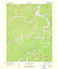
1971 Map of Richardson
USGS Topo · Published 1973About this map
The Levisa Fork carves a deep, winding path through the borderlands of Lawrence and Johnson counties, serving as the primary corridor for the Chesapeake and Ohio railroad. This river-and-rail network anchored the economic life of the region, connecting riverside settlements like Richardson and Henrietta with the coal and timber resources of the interior. The landscape is heavily defined by extractive industry, with numerous Mines and Gas Wells scattered across the ridges, and significant Strip Mines appearing near Lowmansville and Wolf Pen Branch.
Find a feature on this map
84 named features on this map. Tap any name to fly to it.
Don’t see what you’re looking for? This feature index may not catch every label — zoom into the map to look around manually.
Map Details
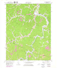
Editions of this 1971 Richardson Map
2 editions found
Other maps of this area

1886 · Prestonsburg
USGS Topo · 1:125,000

1892 · Prestonsburg
USGS Topo · 1:125,000

1903 · Kenova
USGS Topo · 1:125,000

1904 · Kenova
USGS Topo · 1:125,000

1911 · Louisa
USGS Topo · 1:48,000

1913 · Louisa
USGS Topo · 1:62,500

1914 · Inez
USGS Topo · 1:48,000

1915 · Paintsville
USGS Topo · 1:48,000

1916 · Inez
USGS Topo · 1:62,500

1917 · Paintsville
USGS Topo · 1:62,500