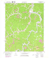
1971 Map of Richardson
USGS Topo · Published 1979About this map
The Chesapeake and Ohio railway corridor dictates the rhythm of the Levisa Fork valley in this 1970s landscape, connecting the coal-rich communities of Richardson and Whitehouse. The map reveals an area where small-scale agriculture and early extraction coexist, documented by numerous Strip Mines and Gas Wells that dot the intricate ridges including Hickman Ridge. Local life is anchored by a dense network of country churches and schools, such as Borders Chapel, Mt Zion Ch, and the Meade Sch, serving families in outlying settlements like Lowmansville and Ulysses. The rugged drainage of Blaine Creek and the Levisa Fork defined the primary transportation routes before modern highway expansion, preserving a specific spatial arrangement of family-named hollows and cemeteries that are essential for regional genealogy and topographical history.
Find a feature on this map
72 named features on this map. Tap any name to fly to it.
Don’t see what you’re looking for? This feature index may not catch every label — zoom into the map to look around manually.
Map Details
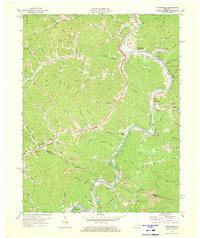
Editions of this 1971 Richardson Map
2 editions found
Other maps of this area

1886 · Prestonsburg
USGS Topo · 1:125,000

1892 · Prestonsburg
USGS Topo · 1:125,000

1903 · Kenova
USGS Topo · 1:125,000

1904 · Kenova
USGS Topo · 1:125,000

1911 · Louisa
USGS Topo · 1:48,000

1913 · Louisa
USGS Topo · 1:62,500

1914 · Inez
USGS Topo · 1:48,000

1915 · Paintsville
USGS Topo · 1:48,000

1916 · Inez
USGS Topo · 1:62,500

1917 · Paintsville
USGS Topo · 1:62,500