
1953 Map of Richfield
USGS Topo · Published 1963About this map
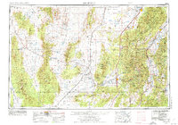
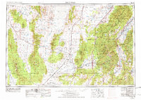
The Sevier River valley and its surrounding highlands define this mid-century portrait of Central Utah, showing a landscape balanced between agricultural settlement and industrial extraction. Early 1950s irrigation and water management are evident at Piute Reservoir, Otter Creek Reservoir, and the Wah Wah Valley Hardpan. Along the eastern corridor, the Pavant Range and Fishlake National Forest shadow established towns like Richfield, Fillmore, and the Kanosh Indian Reservation. To the west, the arid basins of the Ferguson Desert and Escalante Desert are punctuated by mining operations such as the Cudahy Mine and Topache Peak Mines. The Union Pacific railroad serves as the primary logistical artery, connecting remote sidings like Nada and Upton Siding to the region's mining and ranching hubs.
Find a feature on this map
127 named features on this map. Tap any name to fly to it.
Don’t see what you’re looking for? This feature index may not catch every label — zoom into the map to look around manually.
Map Details
Editions of this 1953 Richfield Map
3 editions found
Other maps of this area

1885 · Manti
USGS Topo · 1:250,000

1885 · St. George
USGS Topo · 1:250,000

1885 · Beaver
USGS Topo · 1:250,000

1885 · Sevier Desert
USGS Topo · 1:250,000

1885 · Fish Lake
USGS Topo · 1:250,000

1885 · Pioche
USGS Topo · 1:250,000

1886 · Kanab
USGS Topo · 1:250,000

1886 · Escalante
USGS Topo · 1:250,000

1886 · Pioche
USGS Topo · 1:250,000

1891 · St. George
USGS Topo · 1:250,000