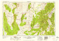
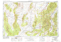
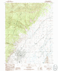
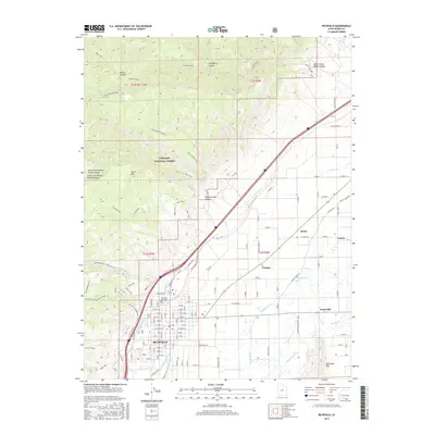
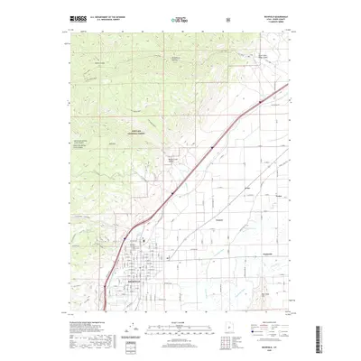
1958 Map of Richfield
USGS Topo · Published 1958About this map
The vast Escalante Valley and the surrounding high-elevation terrain of the Tushar Mountains dominate this mid-century portrait of Central Utah. The map captures a landscape defined by significant public lands, including the Kanosh Indian Reservation and Paiute Indian Reservation, alongside the established corridors of the Fishlake National Forest. Settlement patterns are clustered along the river valleys and rail lines, particularly near Richfield, Beaver, and Fillmore.
Find a feature on this map
40 named features on this map. Tap any name to fly to it.
Don’t see what you’re looking for? This feature index may not catch every label — zoom into the map to look around manually.
Map Details
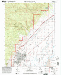
Editions of this 1958 Richfield Map
2 editions found

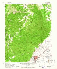
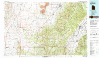
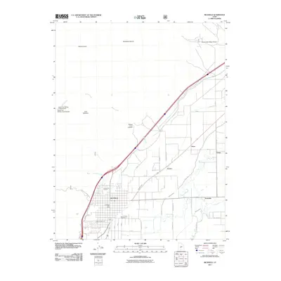
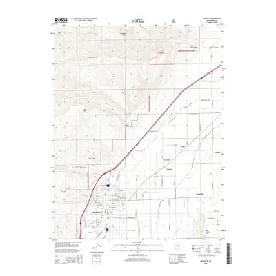
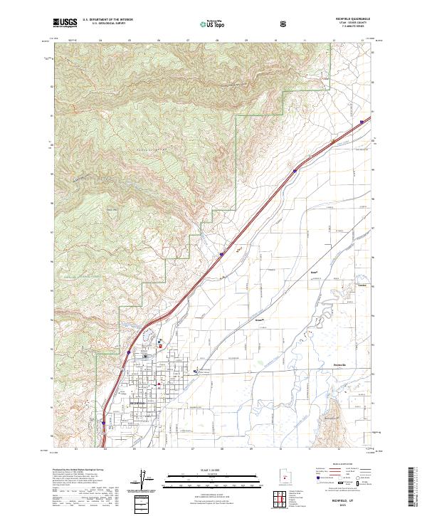
Historical Maps of Richfield Through Time
11 maps found
1953 Richfield
Sevier County, UT
1958 Richfield
Sevier County, UT
1961 Richfield
Sevier County, UT
1980 Richfield
Sevier County, UT
1986 Richfield
Sevier County, UT
2001 Richfield
Sevier County, UT
2011 Richfield
Sevier County, UT
2014 Richfield
Sevier County, UT
2017 Richfield
Sevier County, UT
2020 Richfield
Sevier County, UT
2023 Richfield
Sevier County, UT