
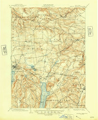
1903 Map of Richfield Springs
USGS Topo · Published 1903About this map
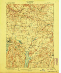
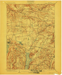
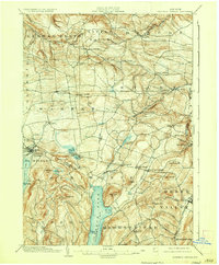
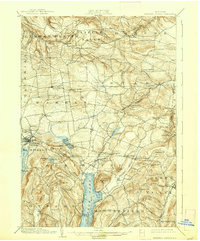
Otsego Lake and the northern reach of its Steamboat Route anchor the southern portion of this turn-of-the-century topographic study. The landscape is defined by the convergence of several prominent townships including Springfield, Stark, and Warren, where a network of hamlets and crossroads like Jordanville, Starkville, and Vanhornesville served the region's agricultural economy. The transportation infrastructure of 1903 is clearly visible, featuring the D. L. & W. R. R. terminating at Richfield Springs near the shores of Canadarago Lake, and the D. & H. R. R. cutting through the southeastern corner near Cherry Valley.
Find a feature on this map
71 named features on this map. Tap any name to fly to it.
Don’t see what you’re looking for? This feature index may not catch every label — zoom into the map to look around manually.
Map Details
Editions of this 1903 Richfield Springs Map
6 editions found
Other maps of this area

1898 · Utica
USGS Topo · 1:62,500

1898 · Canajoharie
USGS Topo · 1:62,500

1900 · Little Falls
USGS Topo · 1:62,500

1900 · Utica
USGS Topo · 1:62,500

1900 · Canajoharie
USGS Topo · 1:62,500

1901 · Lassellsville
USGS Topo · 1:62,500

1902 · Canajoharie
USGS Topo · 1:62,500

1903 · Lassellsville
USGS Topo · 1:62,500

1903 · Little Falls
USGS Topo · 1:62,500

1904 · Richmondville
USGS Topo · 1:62,500