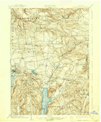
1903 Map of Richfield Springs
USGS Topo · Published 1938About this map
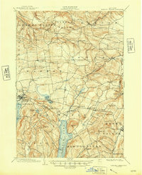
Otsego Lake and its northern shoreline anchor this landscape at the junction of Herkimer and Otsego counties. At the turn of the century, a dedicated Steamboat Route operated on the lake, connecting Lentsville to points north, while the D. L. & W. R. R. served the established village of Richfield Springs near the shores of Canadarago Lake. The terrain is characterized by prominent heights like Waiontha Mt and Wellington Mt, which overlook a network of smaller glacial lakes including Weaver Lake and Youngs Lake.
Find a feature on this map
69 named features on this map. Tap any name to fly to it.
Don’t see what you’re looking for? This feature index may not catch every label — zoom into the map to look around manually.
Map Details
Editions of this 1903 Richfield Springs Map
6 editions found
Other maps of this area

1898 · Utica
USGS Topo · 1:62,500

1898 · Canajoharie
USGS Topo · 1:62,500

1900 · Little Falls
USGS Topo · 1:62,500

1900 · Utica
USGS Topo · 1:62,500

1900 · Canajoharie
USGS Topo · 1:62,500

1901 · Lassellsville
USGS Topo · 1:62,500

1902 · Canajoharie
USGS Topo · 1:62,500

1903 · Richfield Springs
USGS Topo · 1:62,500

1903 · Lassellsville
USGS Topo · 1:62,500

1903 · Little Falls
USGS Topo · 1:62,500