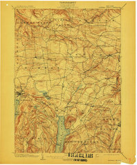
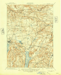
1903 Map of Richfield Springs
USGS Topo · Published 1911About this map
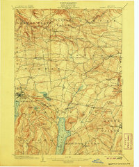
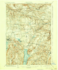
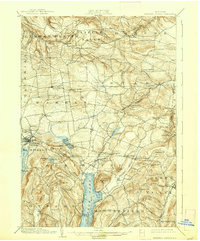
Otsego Lake and its northern headwaters at Hyde Bay anchor the southern portion of this region at the start of the twentieth century. The landscape is defined by a dense network of farming hamlets and small villages, including Springfield Center and Cherry Valley, connected by local roads that wind through the upland topography of the northern Susquehanna watershed. To the west, the D. L. & W. R. R. serves Richfield Springs, a notable resort destination near the shores of Canadarago Lake.
Find a feature on this map
66 named features on this map. Tap any name to fly to it.
Don’t see what you’re looking for? This feature index may not catch every label — zoom into the map to look around manually.
Map Details
Editions of this 1903 Richfield Springs Map
6 editions found
Other maps of this area

1898 · Utica
USGS Topo · 1:62,500

1898 · Canajoharie
USGS Topo · 1:62,500

1900 · Little Falls
USGS Topo · 1:62,500

1900 · Utica
USGS Topo · 1:62,500

1900 · Canajoharie
USGS Topo · 1:62,500

1901 · Lassellsville
USGS Topo · 1:62,500

1902 · Canajoharie
USGS Topo · 1:62,500

1903 · Richfield Springs
USGS Topo · 1:62,500

1903 · Lassellsville
USGS Topo · 1:62,500

1903 · Little Falls
USGS Topo · 1:62,500