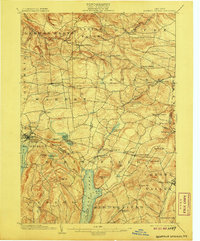
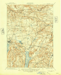
1903 Map of Richfield Springs
USGS Topo · Published 1907About this map
Otsego Lake and its northern reaches dominate the southern landscape of this turn-of-the-century survey, featuring a dedicated Steamboat Route that connects Hyde Bay to the surrounding township. The region is a dense network of upland settlements and agricultural centers, anchored by the resort town of Richfield Springs in the west and the historical hub of Cherry Valley in the southeast. Transportation during this era relied on the D. L. & W. R. R. and the D. & H. R. R., which navigated the valleys between prominent summits like Waiontha Mt. and Wellington Mt.. Smaller hamlets such as Vanhornesville, Jordanville, and Springfield Center are well-defined, showing the distribution of local commerce and community life before modern highway expansion altered these rural corridors.
Find a feature on this map
70 named features on this map. Tap any name to fly to it.
Don’t see what you’re looking for? This feature index may not catch every label — zoom into the map to look around manually.
Map Details
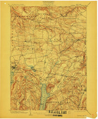
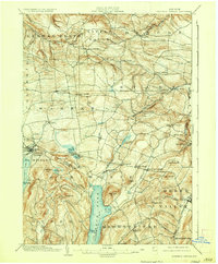
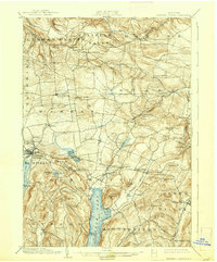
Editions of this 1903 Richfield Springs Map
6 editions found
Other maps of this area

1898 · Utica
USGS Topo · 1:62,500

1898 · Canajoharie
USGS Topo · 1:62,500

1900 · Little Falls
USGS Topo · 1:62,500

1900 · Utica
USGS Topo · 1:62,500

1900 · Canajoharie
USGS Topo · 1:62,500

1901 · Lassellsville
USGS Topo · 1:62,500

1902 · Canajoharie
USGS Topo · 1:62,500

1903 · Richfield Springs
USGS Topo · 1:62,500

1903 · Lassellsville
USGS Topo · 1:62,500

1903 · Little Falls
USGS Topo · 1:62,500