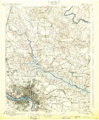
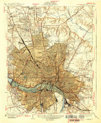
1895 Map of Richmond
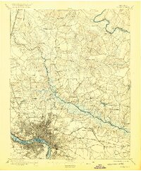
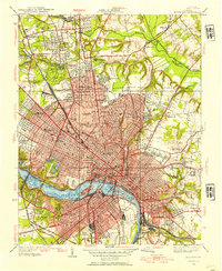
USGS Topo · Published 1931About this map
Richmond and its surrounding countryside are captured here during a pivotal era of post-war recovery and industrial expansion in the late 19th century. The urban grid of the city and its northern suburbs like Bartonheights and Brookland contrasts sharply with the intricate swampy bottomlands of the Chickahominy River. To the east, the map preserves the landscape of recent conflict, noting the positions of Old Cold Harbor, New Cold Harbor, and Seven Pines, alongside the National Cemetery.
Find a feature on this map
82 named features on this map. Tap any name to fly to it.
Don’t see what you’re looking for? This feature index may not catch every label — zoom into the map to look around manually.
Map Details
Editions of this 1895 Richmond Map
5 editions found

Historical Maps of Richmond Through Time
13 maps found

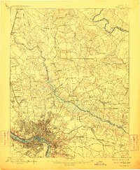
1894 Richmond
Richmond City County, VA
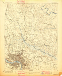
1895 Richmond
Richmond City County, VA
1934 Richmond
Richmond City County, VA
1939 Richmond
Richmond City County, VA
1956 Richmond
Richmond City County, VA
1964 Richmond
Richmond City County, VA
1974 Richmond
Richmond City County, VA
1984 Richmond
Richmond City County, VA
2010 Richmond
Richmond City County, VA

2013 Richmond
Richmond City County, VA
2016 Richmond
Richmond City County, VA
2019 Richmond
Richmond City County, VA
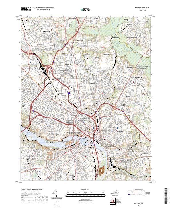
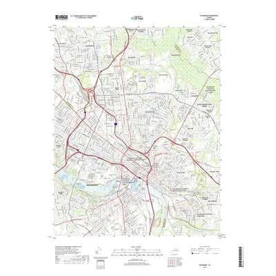
2022 Richmond
Richmond City County, VA