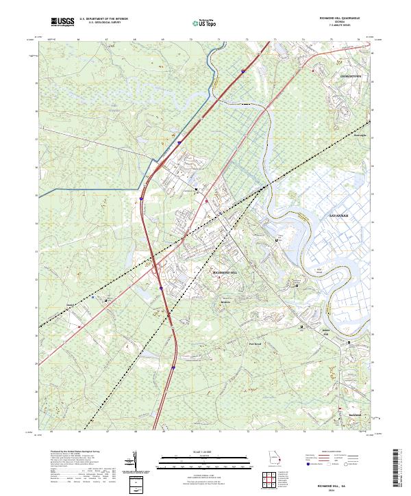
2024 Map of Richmond Hill
USGS Topo · Published 2024About this map
The Ogeechee River and Canoochee River define this low-lying coastal landscape where the borders of Bryan and Chatham counties meet. Modern development in Richmond Hill and Georgetown is juxtaposed against the vast swampy woodlands of Fort Stewart and the watery expanse of Lost Swamp. Numerous historical burial grounds, including Bethlehem Cem and Strathy Hall Cem, are preserved near the riverbanks, marking the sites of older coastal settlements. The intricate network of the Peachtree Canal, Valambrosia Canal, and Elbow Canal suggests a history of landscape modification for drainage or transport through the tidal marshes near Ford Island. This 2024 survey documents the dense subdivision growth expanding from Savannah toward the surrounding rural hamlets like Brisbon and Daniel.
Find a feature on this map
167 named features on this map. Tap any name to fly to it.
Don’t see what you’re looking for? This feature index may not catch every label — zoom into the map to look around manually.
Map Details
Editions of this 2024 Richmond Hill Map
This is the sole edition of this map. No revisions or reprints were ever made.
Other maps of this area

1920 · Meldrim
USGS Topo · 1:62,500

1920 · Limerick
USGS Topo · 1:62,500

1942 · Meldrim
USGS Topo · 1:62,500

1942 · Savannah
USGS Topo · 1:62,500

1944 · Limerick
USGS Topo · 1:62,500

1944 · Ossabaw Island
USGS Topo · 1:62,500

1945 · Ossabaw Island
USGS Topo · 1:62,500

1946 · Brunswick
USGS Topo · 1:250,000

1947 · Savannah
USGS Topo · 1:250,000

1948 · Brunswick
USGS Topo · 1:250,000