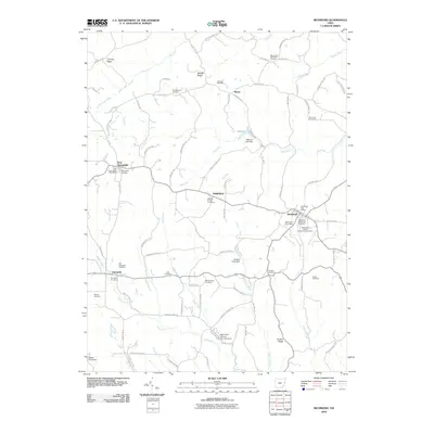
2010 Map of Richmond
USGS Topo · Published 2010About this map
Richmond and East Springfield anchor this detailed 2010 survey of Jefferson County, Ohio, revealing a landscape defined by its deep spiritual and community roots. The map is particularly notable for its density of burial grounds, tracing the lineage of early settlers through sites like the Mount Zion Methodist Cemetery, Old Annapolis Cemetery, and the Montgomery Cemetery. These sites are often found near long-established ridges such as Timothy Ridge and Quaker Ridge, which dictate the local road network.
Find a feature on this map
84 named features on this map. Tap any name to fly to it.
Don’t see what you’re looking for? This feature index may not catch every label — zoom into the map to look around manually.
Map Details
Editions of this 2010 Richmond Map
This is the sole edition of this map. No revisions or reprints were ever made.
Other maps of this area

1901 · Cadiz
USGS Topo · 1:62,500

1903 · Cadiz
USGS Topo · 1:62,500

1904 · Wellsville
USGS Topo · 1:62,500

1904 · Steubenville
USGS Topo · 1:62,500

1905 · Salineville
USGS Topo · 1:62,500

1935 · Steubenville
USGS Topo · 1:62,500

1937 · Wellsville
USGS Topo · 1:62,500

1942 · Steubenville
USGS Topo · 1:62,500

1944 · Wellsville
USGS Topo · 1:62,500

1951 · Canton
USGS Topo · 1:250,000