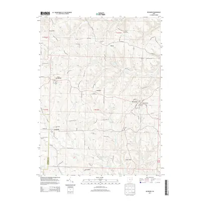
2013 Map of Richmond
USGS Topo · Published 2013About this map
Richmond and its surrounding hill country in Jefferson County appear here during a period of modern rural stability. The landscape is defined by its prominent ridges, such as Timothy Ridge and Quaker Ridge, which dictate the winding paths of rural roads like Co Road 54 and Co Road 56. Small settlements including Annapolis, Fairfield, and East Springfield anchor the townships, serving as nodes for local agriculture and community life.
Find a feature on this map
130 named features on this map. Tap any name to fly to it.
Don’t see what you’re looking for? This feature index may not catch every label — zoom into the map to look around manually.
Map Details
Editions of this 2013 Richmond Map
This is the sole edition of this map. No revisions or reprints were ever made.
Other maps of this area

1901 · Cadiz
USGS Topo · 1:62,500

1903 · Cadiz
USGS Topo · 1:62,500

1904 · Wellsville
USGS Topo · 1:62,500

1904 · Steubenville
USGS Topo · 1:62,500

1905 · Salineville
USGS Topo · 1:62,500

1935 · Steubenville
USGS Topo · 1:62,500

1937 · Wellsville
USGS Topo · 1:62,500

1942 · Steubenville
USGS Topo · 1:62,500

1944 · Wellsville
USGS Topo · 1:62,500

1951 · Canton
USGS Topo · 1:250,000