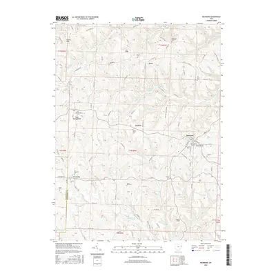
2016 Map of Richmond
USGS Topo · Published 2016About this map
Richmond serves as a central hub in this corner of Jefferson County, where the topography of the Appalachian Plateau is defined by prominent ridges like Timothy Ridge and Quaker Ridge. The landscape is etched by a dense network of watercourses including Claw Lick Cr, Town Fork, and Wolf Run, many of which drain into the recreation area surrounding Jefferson Lake. The mapping reflects a long-settled rural character, preserved in the numerous family and denominational burial grounds scattered across the townships, such as the Old Union Cem and the Wallace Private Cem.
Find a feature on this map
99 named features on this map. Tap any name to fly to it.
Don’t see what you’re looking for? This feature index may not catch every label — zoom into the map to look around manually.
Map Details
Editions of this 2016 Richmond Map
This is the sole edition of this map. No revisions or reprints were ever made.
Other maps of this area

1901 · Cadiz
USGS Topo · 1:62,500

1903 · Cadiz
USGS Topo · 1:62,500

1904 · Wellsville
USGS Topo · 1:62,500

1904 · Steubenville
USGS Topo · 1:62,500

1905 · Salineville
USGS Topo · 1:62,500

1935 · Steubenville
USGS Topo · 1:62,500

1937 · Wellsville
USGS Topo · 1:62,500

1942 · Steubenville
USGS Topo · 1:62,500

1944 · Wellsville
USGS Topo · 1:62,500

1951 · Canton
USGS Topo · 1:250,000