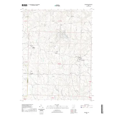
2019 Map of Richmond
USGS Topo · Published 2019About this map
Quaker Ridge rises as a prominent geographic spine in this section of Jefferson County, where the dissected plateau of eastern Ohio is defined by a dense network of creek valleys and ridges. Small settlements like Richmond, Annapolis, and East Springfield anchor the landscape, many of which are situated along historic high-ground routes. The area is notable for its high concentration of burial grounds, including the Richmond Methodist Cem, Old Union Cem, and Quaker Cem, reflecting a long history of local settlement and genealogical depth. In the northern reaches, Jefferson Lake provides a central water feature surrounded by a system of named paths such as the Lakeside trail and Beaver Dam Trail. The complex drainage patterns of Clay Lick Cr and Salem Cr illustrate the challenging terrain that early residents navigated when establishing these rural communities.
Find a feature on this map
104 named features on this map. Tap any name to fly to it.
Don’t see what you’re looking for? This feature index may not catch every label — zoom into the map to look around manually.
Map Details
Editions of this 2019 Richmond Map
This is the sole edition of this map. No revisions or reprints were ever made.
Other maps of this area

1901 · Cadiz
USGS Topo · 1:62,500

1903 · Cadiz
USGS Topo · 1:62,500

1904 · Wellsville
USGS Topo · 1:62,500

1904 · Steubenville
USGS Topo · 1:62,500

1905 · Salineville
USGS Topo · 1:62,500

1935 · Steubenville
USGS Topo · 1:62,500

1937 · Wellsville
USGS Topo · 1:62,500

1942 · Steubenville
USGS Topo · 1:62,500

1944 · Wellsville
USGS Topo · 1:62,500

1951 · Canton
USGS Topo · 1:250,000