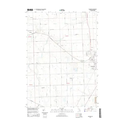
2014 Map of Richmond
USGS Topo · Published 2014About this map
The city of Richmond anchors this Macomb County landscape, where the local rail history is preserved at the Richmond Station. The surrounding area is defined by a dense network of sectional roads, such as 32 Mile Rd and 31 Mile Rd, which cross a terrain drained by the Salt River and various tributaries like Cemetery Cr. The agricultural character of the region is evident in the scattered burial grounds that serve as vital genealogical markers for the community.
Find a feature on this map
101 named features on this map. Tap any name to fly to it.
Don’t see what you’re looking for? This feature index may not catch every label — zoom into the map to look around manually.
Map Details
Editions of this 2014 Richmond Map
This is the sole edition of this map. No revisions or reprints were ever made.
Other maps of this area

1912 · Mt Clemens
USGS Topo · 1:62,500

1914 · Armada
USGS Topo · 1:62,500

1914 · Algonac
USGS Topo · 1:62,500

1928 · Armada
USGS Topo · 1:62,500

1928 · Hicky
USGS Topo · 1:62,500

1929 · Mt Clemens
USGS Topo · 1:62,500

1936 · New Haven
USGS Topo · 1:31,680

1936 · Waldenburg
USGS Topo · 1:31,680

1936 · New Baltimore
USGS Topo · 1:31,680

1939 · New Baltimore
USGS Topo · 1:24,000