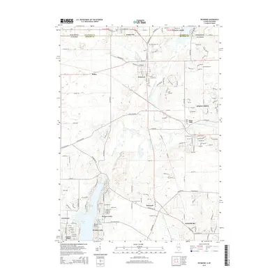
2015 Map of Richmond
USGS Topo · Published 2015About this map
Nippersink Creek and its northern branches define this landscape along the Illinois-Wisconsin border, carving a path through the rolling terrain between Richmond and Johnsburg. The 2015 survey reveals a corridor of established settlements and newer developments like Sunrise Ridge, all connected by a dense network of roads such as Broadway RD and E Kuhn RD. Local history is preserved in numerous burial grounds scattered across the quadrangle, from the Saint Josephs Cem in the north to the Ringwood Cem further south.
Find a feature on this map
98 named features on this map. Tap any name to fly to it.
Don’t see what you’re looking for? This feature index may not catch every label — zoom into the map to look around manually.
Map Details
Editions of this 2015 Richmond Map
This is the sole edition of this map. No revisions or reprints were ever made.
Other maps of this area

1893 · Silver Lake
USGS Topo · 1:62,500

1893 · Geneva
USGS Topo · 1:62,500

1904 · Lake Geneva
USGS Topo · 1:62,500

1906 · Silver Lake
USGS Topo · 1:62,500

1906 · Lake Geneva
USGS Topo · 1:62,500

1920 · Grays Lake
USGS Topo · 1:62,500

1923 · Grays Lake
USGS Topo · 1:62,500

1926 · Mc Henry
USGS Topo · 1:62,500

1944 · McHenry
USGS Topo · 1:62,500

1954 · Rockford
USGS Topo · 1:250,000