2021 Map of Richmond
USGS Topo · Published 2021About this map
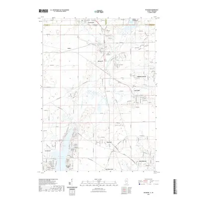
Nippersink Creek and its north branch wind through this northern Illinois landscape, defining the character of several established communities along the state line. The village of Richmond sits at a prominent crossroads, while to the south, the extensive residential development surrounding Wonder Lake is documented in detail, including Wonder Center Beach. The map illustrates the transition from the cluster of homes at McCullom Lake and Johnsburg to the more open agricultural lands of Belden and Solon Mills. Genealogical interest is well-served by the presence of numerous small burial grounds, such as Saint Josephs Cem, Washington Cem, and the Carr - Harrison Cem. Small-scale aviation history is noted at Galt Field, while the topography reflects a region shaped by glacial activity, most notably at Hill Fifteen and around Elizabeth Lake near the Wisconsin border.
Find a feature on this map
163 named features on this map. Tap any name to fly to it.
Don’t see what you’re looking for? This feature index may not catch every label — zoom into the map to look around manually.
Map Details
Editions of this 2021 Richmond Map
This is the sole edition of this map. No revisions or reprints were ever made.
Other maps of this area

1893 · Silver Lake
USGS Topo · 1:62,500

1893 · Geneva
USGS Topo · 1:62,500

1904 · Lake Geneva
USGS Topo · 1:62,500

1906 · Silver Lake
USGS Topo · 1:62,500

1906 · Lake Geneva
USGS Topo · 1:62,500

1920 · Grays Lake
USGS Topo · 1:62,500

1923 · Grays Lake
USGS Topo · 1:62,500

1926 · Mc Henry
USGS Topo · 1:62,500

1944 · McHenry
USGS Topo · 1:62,500

1954 · Rockford
USGS Topo · 1:250,000