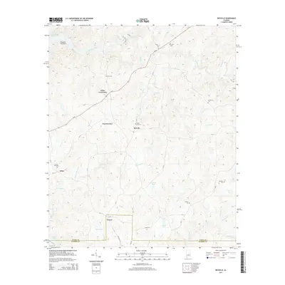
2014 Map of Richville
USGS Topo · Published 2014About this map
Richville and the surrounding rural communities of Coosa County sit amidst a network of small creeks and ridges just east of Mitchell Lake. The landscape is defined by the Weogufka Mountains in the northwest, where Hatchet Creek cuts through the terrain. Settlement patterns are largely concentrated along the corridor of Al-22, connecting Kellys Crossroads and Travelers Rest. Numerous small family and community burial grounds, such as Sardis Cem and New Union Cem, are scattered across the quadrangle, serving as vital landmarks for local genealogy research. In the southern portion of the map, the boundary between Coosa Co and Elmore Co crosses through the community of Welona, following the path of Welona Cr and Weoka Creek. This 2014 survey documents a quiet rural area where land use is dictated by the drainage of several local waterways, including Swamp Creek and Pinchoulee Cr.
Find a feature on this map
49 named features on this map. Tap any name to fly to it.
Don’t see what you’re looking for? This feature index may not catch every label — zoom into the map to look around manually.
Map Details
Editions of this 2014 Richville Map
This is the sole edition of this map. No revisions or reprints were ever made.
Other maps of this area

1901 · Wetumpka
USGS Topo · 1:125,000

1901 · Wetumpka
USGS Topo · 1:62,500

1903 · Wetumpka
USGS Topo · 1:125,000

1953 · Montgomery
USGS Topo · 1:250,000

1956 · Montgomery
USGS Topo · 1:250,000

1957 · Montgomery
USGS Topo · 1:250,000
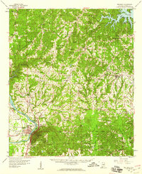
1959 · Wetumpka
USGS Topo · 1:62,500

1959 · Elmore
USGS Topo · 1:62,500

1971 · Richville
USGS Topo · 1:24,000
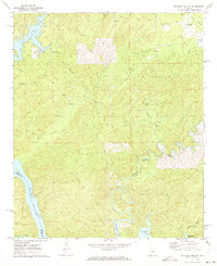
1971 · Mitchell Dam NW
USGS Topo · 1:24,000