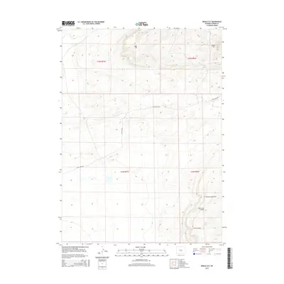
2015 Map of Riddle Cut
USGS Topo · Published 2015About this map
The Haystack Mountains and the distinctive topographic breach at Riddle Cut dominate this section of Carbon County. The landscape is defined by high-elevation landforms including Table Mtn and the deep drainage of Coal Creek Canyon. While largely unpopulated, the territory is segmented by the Public Land Survey System into townships and ranges, such as t25n r86w, which trace the historical method of western land division. The primary human imprint on this remote terrain is Stone Ranch Rd, a rugged corridor that provides access across the arid plains and canyons. Water sources are scarce but significant to the region's character, including Riddle Spring and the seasonal flows of Stone Cr and Corral Cr. These features indicate a landscape shaped by intermittent water and high-desert elevation.
Find a feature on this map
14 named features on this map. Tap any name to fly to it.
Don’t see what you’re looking for? This feature index may not catch every label — zoom into the map to look around manually.
Map Details
Editions of this 2015 Riddle Cut Map
This is the sole edition of this map. No revisions or reprints were ever made.
Other maps of this area

1953 · Bradley Peak
USGS Topo · 1:24,000

1953 · Wild Horse Mountain
USGS Topo · 1:24,000

1953 · Ferris
USGS Topo · 1:24,000

1953 · Riddle Cut
USGS Topo · 1:24,000

1953 · Lone Haystack Mountain
USGS Topo · 1:24,000

1953 · Rawlins NW
USGS Topo · 1:24,000

1954 · Rawlins
USGS Topo · 1:250,000

1955 · Casper
USGS Topo · 1:250,000

1956 · Rawlins Peak
USGS Topo · 1:62,500

1958 · Rawlins
USGS Topo · 1:250,000