
1904 Map of Riddle
USGS Topo · Published 1904About this map
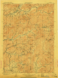
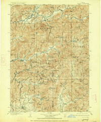
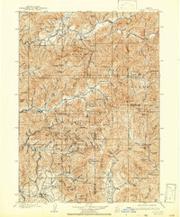
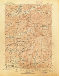
The South Umpqua River and the Southern Pacific R. R. anchor this early 20th-century landscape, where industrial extraction meets early Oregon settlement. The map reveals an intensive mining corridor concentrated south of Canyonville, featuring a high density of claims such as the Gold Bluff Mine, Hammersley Mine, and Klondike Mine in the hills above Grave and Wolf Creek. These operations follow the rugged elevation changes between the Douglas and Josephine county lines.
Find a feature on this map
121 named features on this map. Tap any name to fly to it.
Don’t see what you’re looking for? This feature index may not catch every label — zoom into the map to look around manually.
Map Details
Editions of this 1904 Riddle Map
5 editions found
Other maps of this area

1891 · Ashland
USGS Topo · 1:250,000

1893 · Ashland
USGS Topo · 1:250,000

1897 · Roseburg
USGS Topo · 1:125,000

1897 · Ashland
USGS Topo · 1:250,000

1900 · Roseburg
USGS Topo · 1:125,000

1908 · Grants Pass
USGS Topo · 1:125,000

1917 · Kerby
USGS Topo · 1:125,000

1918 · Kerby
USGS Topo · 1:125,000

1928 · Sitkum
USGS Topo · 1:125,000

1938 · Medford
USGS Topo · 1:125,000