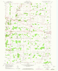
1959 Map of Ridgeville Corners
USGS Topo · Published 1972About this map
Ridgeville Corners serves as the primary hub of this agricultural landscape in Northwest Ohio, where the borders of Henry, Fulton, Defiance, and Williams counties converge. The terrain is defined by a dense network of local township roads, including Nagel Road and Allen Road, which segment the flat drainage basins of Brush Creek and Owl Creek. This 1959 survey, updated with 1971 aerial data, captures a deeply rooted rural community evidenced by its scattered houses of worship and resting places. Genealogists and local historians will find family and community landmarks such as St Johns Ch, Bethlehem Ch, and Domersville Cem positioned alongside early infrastructure like the prominent pipelines that cut diagonally across the traditional section lines of Adams and Ridgeville townships.
Find a feature on this map
29 named features on this map. Tap any name to fly to it.
Don’t see what you’re looking for? This feature index may not catch every label — zoom into the map to look around manually.
Map Details
Editions of this 1959 Ridgeville Corners Map
3 editions found
Other maps of this area

1907 · Defiance
USGS Topo · 1:62,500

1908 · Napoleon
USGS Topo · 1:62,500

1909 · Defiance
USGS Topo · 1:62,500

1911 · Wauseon
USGS Topo · 1:62,500

1913 · Wauseon
USGS Topo · 1:62,500

1913 · Alvordton
USGS Topo · 1:62,500

1943 · Wauseon
USGS Topo · 1:62,500

1944 · Alvordton
USGS Topo · 1:62,500

1953 · Fort Wayne
USGS Topo · 1:250,000

1956 · Fort Wayne
USGS Topo · 1:250,000