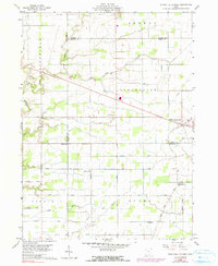
1959 Map of Ridgeville Corners
USGS Topo · Published 1990About this map
The agrarian landscape of northwest Ohio is defined here by a strictly partitioned grid of family roads and township lines, centered on the unincorporated community of Ridgeville Corners. At the end of the 1950s, this region maintained its rural character across the intersection of Henry, Fulton, Williams, and Defiance Counties. Local life revolves around several country parishes, including St Johns Ch and St Marks Ch, alongside small settlements like Bethlehem.
Find a feature on this map
30 named features on this map. Tap any name to fly to it.
Don’t see what you’re looking for? This feature index may not catch every label — zoom into the map to look around manually.
Map Details
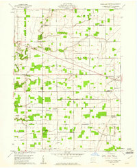
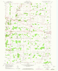
Editions of this 1959 Ridgeville Corners Map
3 editions found
Other maps of this area

1907 · Defiance
USGS Topo · 1:62,500

1908 · Napoleon
USGS Topo · 1:62,500

1909 · Defiance
USGS Topo · 1:62,500

1911 · Wauseon
USGS Topo · 1:62,500

1913 · Wauseon
USGS Topo · 1:62,500

1913 · Alvordton
USGS Topo · 1:62,500

1943 · Wauseon
USGS Topo · 1:62,500

1944 · Alvordton
USGS Topo · 1:62,500

1953 · Fort Wayne
USGS Topo · 1:250,000

1956 · Fort Wayne
USGS Topo · 1:250,000