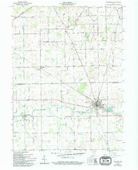
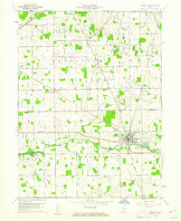
1960 Map of Ridgeville
USGS Topo · Published 1994About this map
Ridgeville serves as the primary hub of this eastern Indiana landscape, situated at the confluence of the Mississinewa River and Days Creek. The map documents a predominantly agricultural region organized by the township system, with boundaries for Jefferson, Pike, and Franklin clearly defined. Evidence of early rural community life is preserved through numerous family-named landmarks and local burial grounds like the Odd Fellow Cem and Flesher Cem.
Find a feature on this map
41 named features on this map. Tap any name to fly to it.
Don’t see what you’re looking for? This feature index may not catch every label — zoom into the map to look around manually.
Map Details
Editions of this 1960 Ridgeville Map
3 editions found

Other maps of this area

1915 · Fort Recovery
USGS Topo · 1:48,000

1916 · Winchester
USGS Topo · 1:48,000

1918 · Winchester
USGS Topo · 1:62,500

1918 · Fort Recovery
USGS Topo · 1:62,500

1943 · Winchester
USGS Topo · 1:62,500

1952 · Maxville
USGS Topo · 1:24,000

1952 · Farmland
USGS Topo · 1:24,000

1953 · Muncie
USGS Topo · 1:250,000

1956 · Muncie
USGS Topo · 1:250,000

1960 · Pennville
USGS Topo · 1:24,000