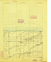
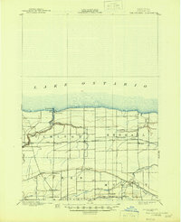
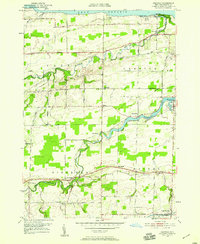
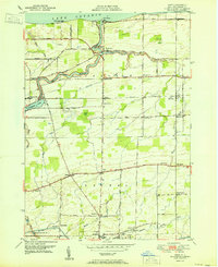
1897 Map of Ridgeway
USGS Topo · Published 1897This historical map portrays the area of Ridgeway in 1897, primarily covering Orleans County as well as portions of Niagara County. Featuring a scale of 1:62500, this map provides a highly detailed snapshot of the terrain, roads, buildings, counties, and historical landmarks in the Ridgeway region at the time. Published in 1897, it is one of 5 known editions of this map due to revisions or reprints.
Find a feature on this map
34 named features on this map. Tap any name to fly to it.
Don’t see what you’re looking for? This feature index may not catch every label — zoom into the map to look around manually.
Map Details
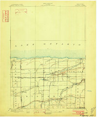
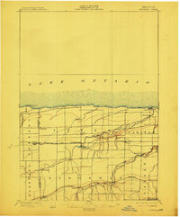
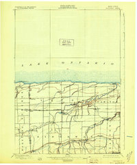
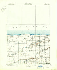
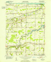
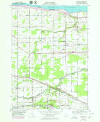
Editions of this 1897 Ridgeway Map
5 editions found
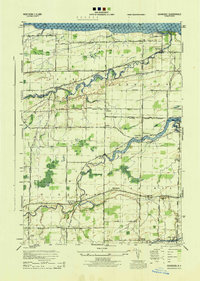
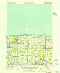
Historical Maps of Platten Through Time
11 maps found
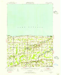
1897 Oak Orchard
Orleans County, NY
1897 Ridgeway
Orleans County, NY
1944 Ashwood
Orleans County, NY
1949 Kendall
Orleans County, NY
1950 Ashwood
Orleans County, NY
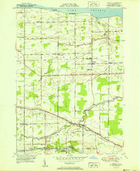
1950 Knowlesville
Orleans County, NY
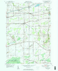
1950 Ridgeway
Orleans County, NY
1951 Kendall
Orleans County, NY
1951 Kent
Orleans County, NY
1952 Ashwood
Orleans County, NY
1978 Kendall
Orleans County, NY