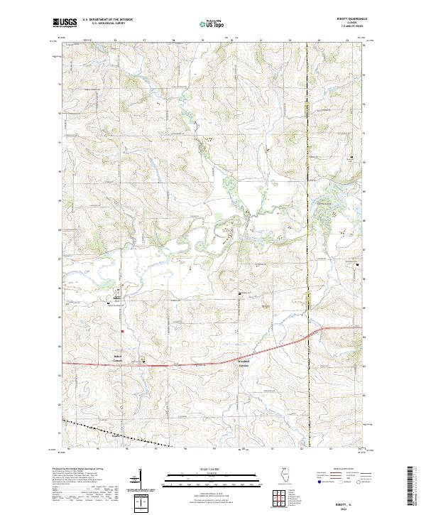
2024 Map of Ridott
USGS Topo · Published 2024About this map
The Pecatonica River meanders across this landscape, defining the northern Illinois borderlands between Stephenson and Winnebago counties. The village of Ridott and its nearby crossroads, Ridott Corners and Woodruff Corners, anchor a traditional agricultural district defined by small local burial grounds and seasonal waterways. Genealogists will find several notable interment sites, including the Ridott Township Cem and the small Wagner Cem situated near the river's bend.
Find a feature on this map
63 named features on this map. Tap any name to fly to it.
Don’t see what you’re looking for? This feature index may not catch every label — zoom into the map to look around manually.
Map Details
Editions of this 2024 Ridott Map
This is the sole edition of this map. No revisions or reprints were ever made.
Other maps of this area

1922 · Oregon
USGS Topo · 1:62,500

1924 · Oregon
USGS Topo · 1:62,500

1932 · Pecatonica
USGS Topo · 1:62,500

1936 · Pecatonica
USGS Topo · 1:62,500

1939 · Freeport
USGS Topo · 1:48,000

1942 · Forreston
USGS Topo · 1:62,500

1944 · Freeport
USGS Topo · 1:62,500

1945 · Forreston
USGS Topo · 1:62,500

1954 · Rockford
USGS Topo · 1:250,000

1955 · Rockford
USGS Topo · 1:250,000