
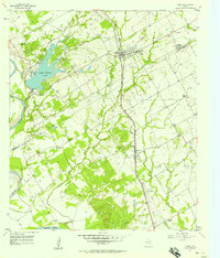
1957 Map of Riesel
USGS Topo · Published 1958About this map
Riesel sits as the central hub of this agricultural landscape in the mid-1950s, defined by its position along the Southern Pacific line. This survey details a dense network of rural community landmarks, including Friedens Cem near Blackland and the Hebron Sch and Hebron Cem further south toward Perry. The terrain is shaped significantly by water management and industry, featuring the expansive Lake Creek Lake with its associated Powerhouse and Spillway 410.
Find a feature on this map
36 named features on this map. Tap any name to fly to it.
Don’t see what you’re looking for? This feature index may not catch every label — zoom into the map to look around manually.
Map Details
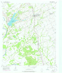
Editions of this 1957 Riesel Map
3 editions found
Other maps of this area

1892 · Temple
USGS Topo · 1:125,000

1892 · Waco
USGS Topo · 1:125,000

1920 · Waco
USGS Topo · 1:125,000

1920 · Mart
USGS Topo · 1:62,500

1931 · Elm Mott
USGS Topo · 1:62,500

1954 · Waco
USGS Topo · 1:250,000

1955 · Waco
USGS Topo · 1:250,000

1956 · Mart
USGS Topo · 1:24,000

1957 · Otto
USGS Topo · 1:24,000

1957 · McClanahan
USGS Topo · 1:24,000