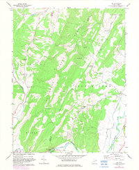
1967 Map of Rig
USGS Topo · Published 1982About this map
Patterson Creek Mountain dominates the central landscape of this survey, dividing the drainage of Patterson Creek from the South Branch Potomac River. Small mountain communities and family-named settlements like Old Arthur, Arthur, and Kessel are connected by a network of winding roads and jeep trails, reflecting the rural character of this portion of West Virginia in the late 1960s. Local life centers on landmarks such as Mt Carmel Ch, Oak Grove Ch, and the Oakdale Sch. In the southeast, the terrain opens into the river valley near Fisher, where a Radio Tower and Conway appear. Significant topographic landmarks like Round Knob, Turkey Mtn, and Charles Knob define the high ridges, while the Petersburg Gap provides a notable passage through the mountain range near the southern edge.
Find a feature on this map
41 named features on this map. Tap any name to fly to it.
Don’t see what you’re looking for? This feature index may not catch every label — zoom into the map to look around manually.
Map Details
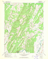
Editions of this 1967 Rig Map
2 editions found
Other maps of this area

1891 · Romney
USGS Topo · 1:125,000

1892 · Franklin
USGS Topo · 1:125,000

1892 · Woodstock
USGS Topo · 1:125,000

1895 · Piedmont
USGS Topo · 1:125,000

1896 · Franklin
USGS Topo · 1:125,000

1920 · Petersburg
USGS Topo · 1:48,000

1920 · Moorefield
USGS Topo · 1:62,500

1921 · Orkney Springs
USGS Topo · 1:48,000

1921 · Petersburg
USGS Topo · 1:48,000

1921 · Greenland Gap
USGS Topo · 1:62,500