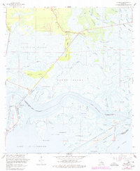
1968 Map of Rigolets
USGS Topo · Published 1978About this map
Fort Pike State Monument (Ruins) stands at the western gate of Rigolets, guarding the historic deep-water passage between Lake Pontchartrain and Lake Borgne. This intricate coastal landscape, revised in the late 1970s, reveals the complex network of bayous and islands that define the St. Tammany and Orleans Parish boundary. On the northern shore, Apple Pie Ridge provides a rare strip of higher ground where White Kitchen and the Ridge Memorial Ch are situated among the surrounding Fritchie Marsh.
Find a feature on this map
76 named features on this map. Tap any name to fly to it.
Don’t see what you’re looking for? This feature index may not catch every label — zoom into the map to look around manually.
Map Details
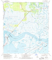
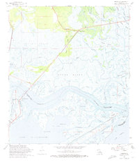
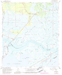
Editions of this 1968 Rigolets Map
4 editions found
Other maps of this area

1892 · Chef Menteur
USGS Topo · 1:62,500

1893 · Rigolets
USGS Topo · 1:62,500

1914 · Nicholson
USGS Topo · 1:62,500

1921 · Nicholson
USGS Topo · 1:62,500

1935 · Slidell
USGS Topo · 1:62,500

1935 · English Lookout
USGS Topo · 1:31,680

1936 · North Shore
USGS Topo · 1:31,680

1936 · Chef Menteur
USGS Topo · 1:62,500

1936 · Rigolets
USGS Topo · 1:62,500

1937 · Chef Menteur
USGS Topo · 1:31,680