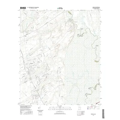
2017 Map of Rincon
USGS Topo · Published 2017About this map
Rincon serves as the primary residential center in this part of Effingham County, showing a well-defined grid of streets such as Long Bridge Rd and Ebenezer Rd that connect the town to outlying areas like Birds. The map provides a detailed view of local genealogy through numerous family-named burial grounds, including Gnann Cem, Rahn Cem, and Jones Cem.
Find a feature on this map
155 named features on this map. Tap any name to fly to it.
Don’t see what you’re looking for? This feature index may not catch every label — zoom into the map to look around manually.
Map Details
Editions of this 2017 Rincon Map
This is the sole edition of this map. No revisions or reprints were ever made.
Other maps of this area

1919 · Egypt
USGS Topo · 1:62,500

1920 · Hardeeville
USGS Topo · 1:62,500

1920 · Meldrim
USGS Topo · 1:62,500

1939 · Egypt
USGS Topo · 1:62,500

1942 · Meldrim
USGS Topo · 1:62,500

1942 · Savannah
USGS Topo · 1:62,500

1943 · Hardeeville
USGS Topo · 1:62,500

1943 · Egypt
USGS Topo · 1:62,500

1947 · Savannah
USGS Topo · 1:250,000

1948 · Savannah
USGS Topo · 1:250,000