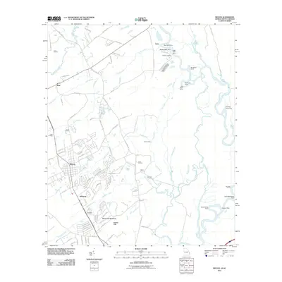
2024 Map of Rincon
USGS Topo · Published 2024About this map
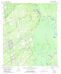
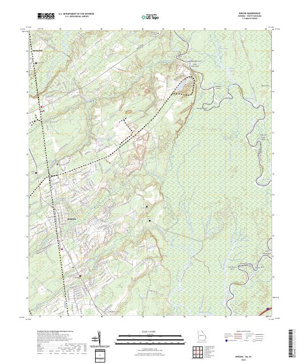
Rincon serves as a primary hub of activity in this corridor between the coastal lowlands and the interior of Effingham County. The landscape is defined by the expansive wetlands of the Savannah National Wildlife Refuge, which spans the eastern portion of the sheet along the Savannah River. This area is characterized by a complex network of waterways, including Little Abercorn Creek, Mosquito Creek, and numerous family-named landmarks like Lady Washington Point and Glovers Point.
Find a feature on this map
167 named features on this map. Tap any name to fly to it.
Don’t see what you’re looking for? This feature index may not catch every label — zoom into the map to look around manually.
Map Details
Editions of this 2024 Rincon Map
This is the sole edition of this map. No revisions or reprints were ever made.
Historical Maps of Rincon Through Time
6 maps found