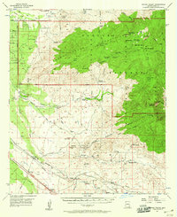
1957 Map of Rincon Valley
USGS Topo · Published 1960About this map
The Saguaro National Monument encompasses the high peaks of the Rincon Mountains, including Mica Mtn and Spud Rock. This 1957 field-checked survey documents a landscape defined by the transition from the arid desert floor to the high-elevation woodlands of the Coronado National Forest. In the valley, the Southern Pacific railroad follows the curve of Cienega creek toward Vail, while early aviation footprints are visible at Thunderhead Airport and a small Landing Strip near the northern boundary.
Find a feature on this map
55 named features on this map. Tap any name to fly to it.
Don’t see what you’re looking for? This feature index may not catch every label — zoom into the map to look around manually.
Map Details
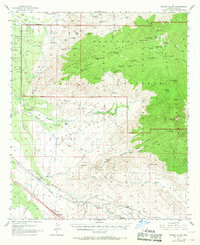
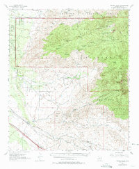
Editions of this 1957 Rincon Valley Map
4 editions found

Other maps of this area

1904 · Patagonia
USGS Topo · 1:125,000

1904 · Tucson
USGS Topo · 1:125,000

1905 · Patagonia
USGS Topo · 1:125,000

1905 · Tucson
USGS Topo · 1:125,000

1915 · Benson
USGS Topo · 1:125,000

1926 · Whetstone
USGS Topo · 1:62,500

1926 · Helvetia
USGS Topo · 1:62,500

1943 · Benson
USGS Topo · 1:125,000

1945 · Redington
USGS Topo · 1:62,500

1945 · Happy Valley
USGS Topo · 1:62,500