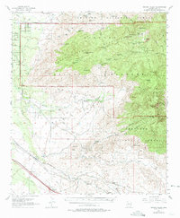
1957 Map of Rincon Valley
USGS Topo · Published 1974About this map
Saguaro National Monument and the Tanque Verde Mountains dominate the northern half of this Pima County landscape, where desert washes meet the high peaks of the Rincon Mountains. The 1957 field survey captures a transition from high-altitude wilderness at Manning Camp and Spud Rock to the developing valleys below. Transportation and ranching history are evident along the southern corridor, where the Southern Pacific railroad and a major pipeline parallel the Aqua Verde Creek. Settlement is concentrated at Vail and the nearby Mountain View, while several ranches like N Lazy H Ranch and Day Ranch are scattered throughout the lower terrain. The map also highlights local landmarks such as Colossal Cave County Park and the high Happy Valley Lookout, which provided critical fire surveillance over the Coronado National Forest.
Find a feature on this map
72 named features on this map. Tap any name to fly to it.
Don’t see what you’re looking for? This feature index may not catch every label — zoom into the map to look around manually.
Map Details
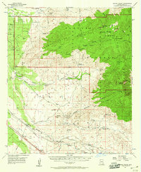
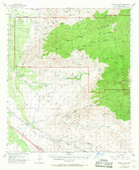
Editions of this 1957 Rincon Valley Map
4 editions found

Other maps of this area

1904 · Patagonia
USGS Topo · 1:125,000

1904 · Tucson
USGS Topo · 1:125,000

1905 · Patagonia
USGS Topo · 1:125,000

1905 · Tucson
USGS Topo · 1:125,000

1915 · Benson
USGS Topo · 1:125,000

1926 · Whetstone
USGS Topo · 1:62,500

1926 · Helvetia
USGS Topo · 1:62,500

1943 · Benson
USGS Topo · 1:125,000

1945 · Redington
USGS Topo · 1:62,500

1945 · Happy Valley
USGS Topo · 1:62,500