
1952 Map of Rio Blanco
USGS Topo · Published 1954About this map
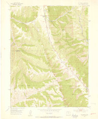
Rio Blanco sits at the junction of Thirteenmile Creek and Piceance Creek, serving as a focal point for this rugged section of the Western Slope in the early 1950s. The landscape is dominated by the massive geological formations of the Grand Hogback and the Book Cliffs, which define the region's sharp elevation changes. The presence of the Naval Oil Shale Reserve across the southern half of the map signals the area's strategic industrial importance during the mid-century energy boom. Local life is anchored by the Rio Blanco School and an Rio Blanco Mine (Inactive), while a high-altitude Ski Tow near Government Road points to early recreational use of the high ridges. Surveyed just before major modern developments, this map traces the winding paths of Bear Creek and Cow Creek through deep canyons that remain largely unchanged.
Find a feature on this map
25 named features on this map. Tap any name to fly to it.
Don’t see what you’re looking for? This feature index may not catch every label — zoom into the map to look around manually.
Map Details
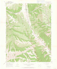
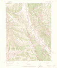
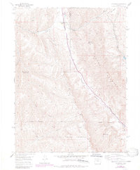
Editions of this 1952 Rio Blanco Map
5 editions found
Other maps of this area

1906 · Grand Hogback
USGS Topo · 1:125,000

1910 · Grand Hogback
USGS Topo · 1:125,000

1925 · Parachute Creek
USGS Topo · 1:62,500

1927 · Parachute Creek
USGS Topo · 1:62,500

1952 · Anvil Points
USGS Topo · 1:24,000

1952 · Horse Mountain
USGS Topo · 1:24,000

1952 · Rifle
USGS Topo · 1:24,000

1952 · No Name Ridge
USGS Topo · 1:24,000

1956 · Grand Junction
USGS Topo · 1:250,000

1957 · Leadville
USGS Topo · 1:250,000