2024 Map of Rio Descalabrado
USGS Topo · Published 2024About this map
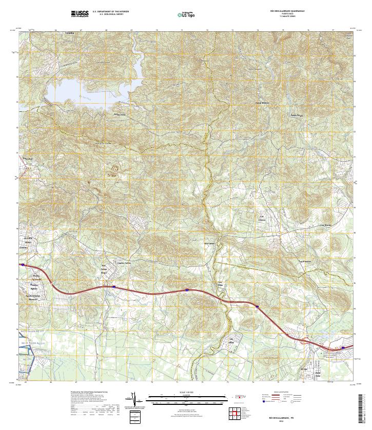
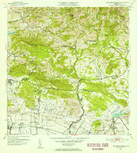
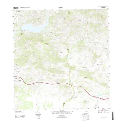
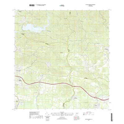
Villalba and the southern foothills of the central cordillera define the landscape of this 2024 survey, where the Río Toa Vaca and Río Descalabrado drain southward toward the Caribbean coast. The map illustrates a complex network of island routes, including Carr 150 and PR-14, which connect rural settlements such as Palma Sola, Zanja Blanca, and Río Cañas. The southern portion of the quadrangle shows a shift toward more concentrated infrastructure, including the Universidad Ana G. Méndez Centro Universitario de Santa Isabel and the NG FT Allen RQ 177 military reservation. Topographic landmarks like Cerro de las Cuevas and Cerro del Muerto rise above the valleys, marking a terrain where modern academic and military facilities sit alongside traditional agricultural communities like Paso Seco and Las Ollas.
Find a feature on this map
45 named features on this map. Tap any name to fly to it.
Don’t see what you’re looking for? This feature index may not catch every label — zoom into the map to look around manually.
Map Details
Editions of this 2024 Rio Descalabrado Map
This is the sole edition of this map. No revisions or reprints were ever made.
Historical Maps of Sector Sierrita Through Time
10 maps found
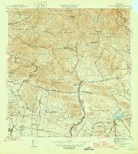
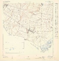
1945 Rio Descalabrado
Santa Isabel Municipio, PR
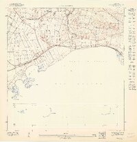
1947 Rio Descalabrado SE
Santa Isabel Municipio, PR
1947 Salinas NO
Santa Isabel Municipio, PR
1947 Santa Isabel NE
Santa Isabel Municipio, PR
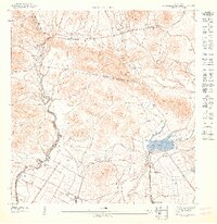
1952 Rio Descalabrado
Santa Isabel Municipio, PR
1960 Rio Descalabrado
Santa Isabel Municipio, PR
1972 Rio Descalabrado
Santa Isabel Municipio, PR
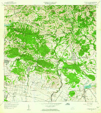
2013 Rio Descalabrado
Santa Isabel Municipio, PR
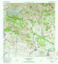
2018 Rio Descalabrado
Santa Isabel Municipio, PR
2024 Rio Descalabrado
Santa Isabel Municipio, PR
Featured Locations
- Sector Magas, Juana Díaz
- Villa Geraldina, Juana Díaz
- Sector Caribe, Coamo
- Sector Sierrita, Coamo
- Sector Verdún, Coamo