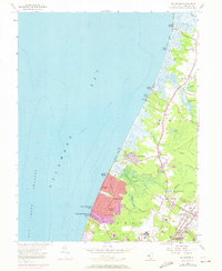
1956 Map of Rio Grande
USGS Topo · Published 1972About this map
Delaware Bay defines the western edge of this coastal landscape, where the Fishing Creek Shoal and Delaware Shore Channel separate the open water from a string of bayside settlements. Towns like Villas and Del Haven sit nestled between the shoreline and the interior lowlands of Middle and Lower townships. The map illustrates a transitional period of development, with purple-tinted areas showing the growth of coastal neighborhoods through the early 1970s.
Find a feature on this map
48 named features on this map. Tap any name to fly to it.
Don’t see what you’re looking for? This feature index may not catch every label — zoom into the map to look around manually.
Map Details
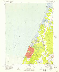
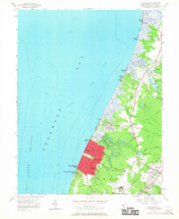
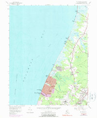
Editions of this 1956 Rio Grande Map
4 editions found
Other maps of this area

1888 · Cape May
USGS Topo · 1:62,500

1888 · Dennisville
USGS Topo · 1:62,500

1890 · Maurice Cove
USGS Topo · 1:62,500

1891 · Maurice Cove
USGS Topo · 1:62,500

1893 · Cape May
USGS Topo · 1:62,500

1894 · Dennisville
USGS Topo · 1:62,500

1898 · Cape May
USGS Topo · 1:62,500

1899 · Vineland
USGS Topo · 1:125,000

1918 · Cape Henlopen
USGS Topo · 1:62,500

1918 · Cape May
USGS Topo · 1:62,500
Featured Places
- Lower Township, NJ
- Middle Township, NJ
- Villas, Lower Township
- Kimseytown, Lower Township
- King Crab Landing, Middle Township