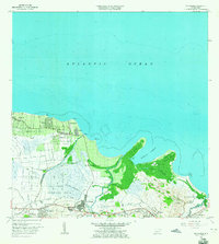
1963 Map of Rio Grande
USGS Topo · Published 1965About this map
The coastal lowlands and inland foothills of northeast Puerto Rico are defined here by a network of waterways and agricultural barriers during the early 1960s. The Río Grande settlement serves as a central hub, connected to outlying barrios like Hato Caudal and Korea through a transitioning infrastructure of light-duty roads and the Via del Ferrocarril. Along the northern shore, the Atlantic coastline is punctuated by Punta Miquillo and the sheltered Ensenada Comezón, where the Río Espíritu Santo meets the sea.
Find a feature on this map
45 named features on this map. Tap any name to fly to it.
Don’t see what you’re looking for? This feature index may not catch every label — zoom into the map to look around manually.
Map Details
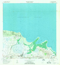
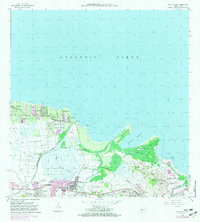
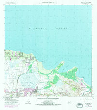
Editions of this 1963 Rio Grande Map
4 editions found
Other maps of this area

1940 · Carolina
USGS Topo · 1:30,000

1941 · Rio Grande
USGS Topo · 1:30,000

1941 · Carolina
USGS Topo · 1:30,000

1945 · El Yunque
USGS Topo · 1:30,000

1946 · El Yunque
USGS Topo · 1:30,000

1946 · Gurabo
USGS Topo · 1:30,000

1946 · Fajardo
USGS Topo · 1:30,000

1947 · Carolina
USGS Topo · 1:30,000

1947 · El Yunque NE
USGS Topo · 1:10,000

1947 · Gurabo NE
USGS Topo · 1:10,000