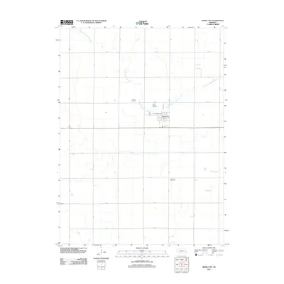
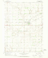
2011 Map of Rising City
USGS Topo · Published 2011About this map
Rising City serves as the central hub for this portion of Butler County, organized around a precise grid of rural roads such as A Rd and 32 Rd. The landscape is defined by the winding course of the North Branch Big Blue River, which meanders through the agricultural plains, creating a distinct contrast between the natural waterway and the rigid section-line boundaries. Local history is anchored by several long-standing burial grounds, including Circle Mound Cemetery and Fairview Cemetery to the north, as well as Rising Sun Cemetery situated to the south. These sites, along with the Rising City Post Office, mark the steady continuity of this Nebraska community into the early 21st century, illustrating how modern infrastructure follows the same spatial patterns established by earlier generations of prairie settlers.
Find a feature on this map
20 named features on this map. Tap any name to fly to it.
Don’t see what you’re looking for? This feature index may not catch every label — zoom into the map to look around manually.
Map Details
Editions of this 2011 Rising City Map
This is the sole edition of this map. No revisions or reprints were ever made.
Other maps of this area

1899 · David City
USGS Topo · 1:125,000

1955 · Fremont
USGS Topo · 1:250,000

1957 · Fremont
USGS Topo · 1:250,000

1958 · Fremont
USGS Topo · 1:250,000

1958 · Columbus SW
USGS Topo · 1:24,000

1958 · Columbus SE
USGS Topo · 1:24,000
1965 · Gresham
USGS Topo · 1:24,000
1965 · Shelby
USGS Topo · 1:24,000
1965 · Garrison
USGS Topo · 1:24,000
1965 · Rising City
USGS Topo · 1:24,000