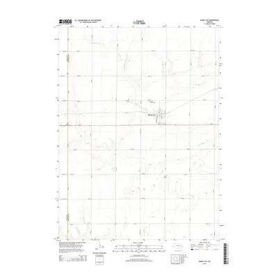
2014 Map of Rising City
USGS Topo · Published 2014About this map
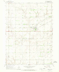
Rising City sits at the heart of this agricultural landscape in Butler County, where the township's grid is defined by a dense network of country roads. The N Br Big Blue River meanders across the northern and central sections of the quadrangle, carving subtle drainages through the prairie. For genealogists, the map identifies several distinct burial grounds including Fairview Cem and Circle Mound Cem located just north of the city limits, and Rising Sun Cem situated further south. The transportation infrastructure is anchored by the intersection of Ne-92 and the NE-12E-Spur, while the Polk Co and Butler Co boundary line runs along the western edge, following Road A and Us-81. This survey provides a clear view of the rural Nebraska homestead and road patterns established over generations.
Find a feature on this map
31 named features on this map. Tap any name to fly to it.
Don’t see what you’re looking for? This feature index may not catch every label — zoom into the map to look around manually.
Map Details
Editions of this 2014 Rising City Map
This is the sole edition of this map. No revisions or reprints were ever made.
Other maps of this area

1899 · David City
USGS Topo · 1:125,000

1955 · Fremont
USGS Topo · 1:250,000

1957 · Fremont
USGS Topo · 1:250,000

1958 · Fremont
USGS Topo · 1:250,000

1958 · Columbus SW
USGS Topo · 1:24,000

1958 · Columbus SE
USGS Topo · 1:24,000
1965 · Gresham
USGS Topo · 1:24,000
1965 · Shelby
USGS Topo · 1:24,000
1965 · Garrison
USGS Topo · 1:24,000
1965 · Rising City
USGS Topo · 1:24,000