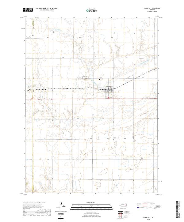
2021 Map of Rising City
USGS Topo · Published 2021About this map
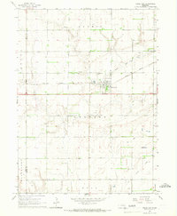
Rising City serves as the primary hub of this eastern Nebraska landscape, situated near the headwaters of the N Br Big Blue River. The grid of the settlement is defined by local thoroughfares such as Main St, Elm St, and Butler St, reflecting a traditional Midwestern rail-and-road orientation. The surrounding countryside is primarily organized by a rigid section-line road system, including RD 32 and RD 31, which underscores the deep-rooted agricultural structure of Butler County.
Find a feature on this map
41 named features on this map. Tap any name to fly to it.
Don’t see what you’re looking for? This feature index may not catch every label — zoom into the map to look around manually.
Map Details
Editions of this 2021 Rising City Map
This is the sole edition of this map. No revisions or reprints were ever made.
Other maps of this area

1899 · David City
USGS Topo · 1:125,000

1955 · Fremont
USGS Topo · 1:250,000

1957 · Fremont
USGS Topo · 1:250,000

1958 · Fremont
USGS Topo · 1:250,000

1958 · Columbus SW
USGS Topo · 1:24,000

1958 · Columbus SE
USGS Topo · 1:24,000
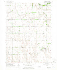
1965 · Gresham
USGS Topo · 1:24,000
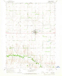
1965 · Shelby
USGS Topo · 1:24,000
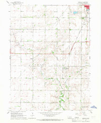
1965 · Garrison
USGS Topo · 1:24,000
1965 · Rising City
USGS Topo · 1:24,000