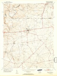
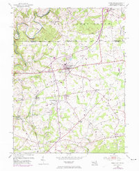
1953 Map of Rising Sun
USGS Topo · Published 1954About this map
The Mason and Dixon Line serves as the focal point of this 1953 study, marking the historic boundary between Pennsylvania and Maryland. This landscape is defined by the winding course of Octoraro Creek and the intersection of colonial-era land divisions. The town of Rising Sun stands as a central hub, surrounded by a network of rural crossroads and community institutions like Brookview Chapel and West Nottingham Cem.
Find a feature on this map
58 named features on this map. Tap any name to fly to it.
Don’t see what you’re looking for? This feature index may not catch every label — zoom into the map to look around manually.
Map Details
Editions of this 1953 Rising Sun Map
6 editions found
Other maps of this area

1898 · Elkton
USGS Topo · 1:62,500

1900 · Elkton
USGS Topo · 1:62,500

1900 · Havre De Grace
USGS Topo · 1:62,500

1904 · Coatesville
USGS Topo · 1:62,500

1906 · Coatesville
USGS Topo · 1:62,500

1912 · Quarryville
USGS Topo · 1:62,500

1917 · Elkton
USGS Topo · 1:62,500

1918 · Coatesville
USGS Topo · 1:62,500

1942 · Havre De Grace
USGS Topo · 1:62,500

1942 · Elkton
USGS Topo · 1:62,500
Featured Places
- Little Britain Township, PA
- Rising Sun, MD
- Mount Pleasant Acres, MD
- Mount Pleasant Manor, MD
- West Nottingham Township, PA