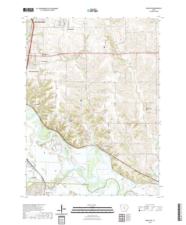
2022 Map of Rising Sun
USGS Topo · Published 2022About this map
The Des Moines River and its floodplain dominate the southern reaches of this landscape, marking the transition from the metropolitan expansion of Des Moines and Pleasant Hill into the agricultural heart of the Polk Co and Warren Co borderlands. This 2022 survey captures a mix of suburban growth and rural history, where legacy settlements like Adelphi and Hastie sit near the river's winding course. Family history is deeply rooted in several local burial grounds, including Warren Powers Cem and Stuart Cem, which dot the uplands between the tributary waters of Spring Cr and Mud Cr. Further north, the city of Altoona pushes south toward the crossroads of Rising Sun, illustrating the continued outward shift of the regional population centers while preserving the geographic identity of established communities like Ivy and the newer developments of Woodland Hills.
Find a feature on this map
97 named features on this map. Tap any name to fly to it.
Don’t see what you’re looking for? This feature index may not catch every label — zoom into the map to look around manually.
Map Details
Editions of this 2022 Rising Sun Map
This is the sole edition of this map. No revisions or reprints were ever made.
Historical Maps of Adelphi Through Time
12 maps found
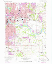
1956 Des Moines NE
Polk County, IA
1956 Des Moines NW
Polk County, IA
1956 Des Moines SE
Polk County, IA
1956 Des Moines SW
Polk County, IA
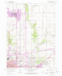
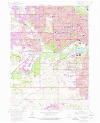
1972 Loring
Polk County, IA

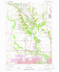
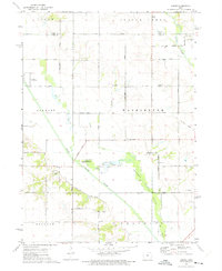
1972 Rising Sun
Polk County, IA
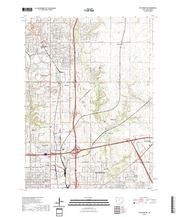
2022 Des Moines NE
Polk County, IA
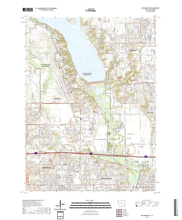
2022 Des Moines NW
Polk County, IA
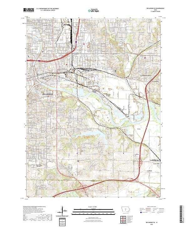
2022 Des Moines SE
Polk County, IA
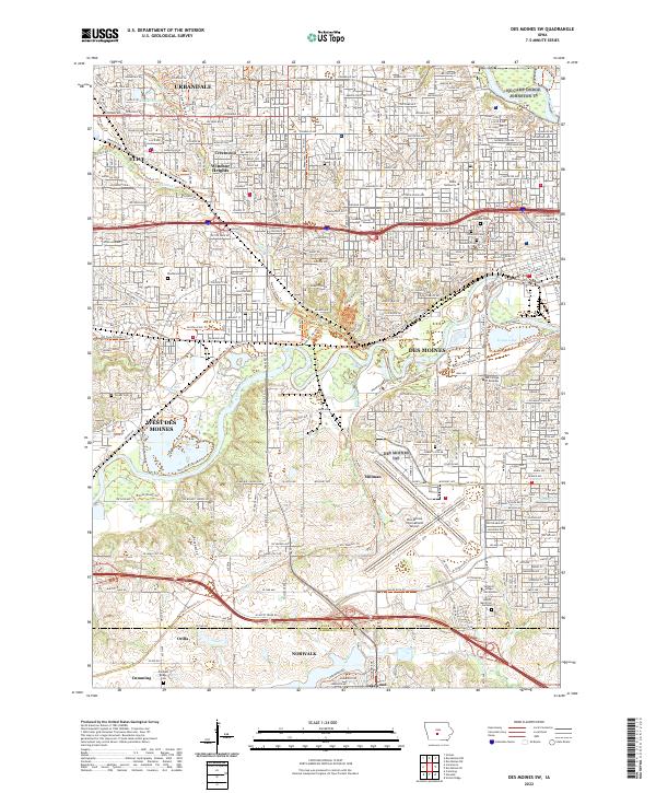
2022 Des Moines SW
Polk County, IA
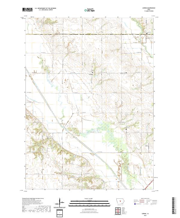
2022 Loring
Polk County, IA
2022 Rising Sun
Polk County, IA