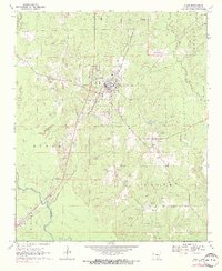
1970 Map of Rison
USGS Topo · Published 1972About this map
Rison serves as the central hub of this 1970s landscape, positioned along the diagonal route of the St Louis Southwestern railroad. The settlement pattern reveals a deeply rooted community characterized by numerous small country churches and family burial grounds that dot the terrain between the Saline River and its various tributaries. The concentration of gravel operations throughout the Rison and Smith townships indicates a local economy tied to the land's geological resources. To the southeast, the small community of Toledo remains a distinct marker of early Cleveland County settlement. Waterways like Varnell Creek and Atwood Creek define the natural drainage patterns that shaped the placement of local landmarks, from the Country Club near the town center to the outlying Liberty Hill Ch.
Find a feature on this map
32 named features on this map. Tap any name to fly to it.
Don’t see what you’re looking for? This feature index may not catch every label — zoom into the map to look around manually.
Map Details
Editions of this 1970 Rison Map
2 editions found
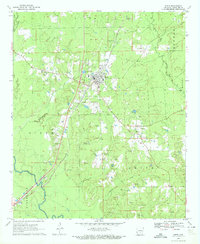
Other maps of this area

1953 · El Dorado
USGS Topo · 1:250,000

1955 · Little Rock
USGS Topo · 1:250,000

1956 · Little Rock
USGS Topo · 1:250,000

1957 · El Dorado
USGS Topo · 1:250,000

1958 · El Dorado
USGS Topo · 1:250,000

1960 · El Dorado
USGS Topo · 1:250,000

1960 · Little Rock
USGS Topo · 1:250,000

1962 · Faith
USGS Topo · 1:24,000

1962 · Kedron
USGS Topo · 1:24,000

1964 · Little Rock
USGS Topo · 1:250,000