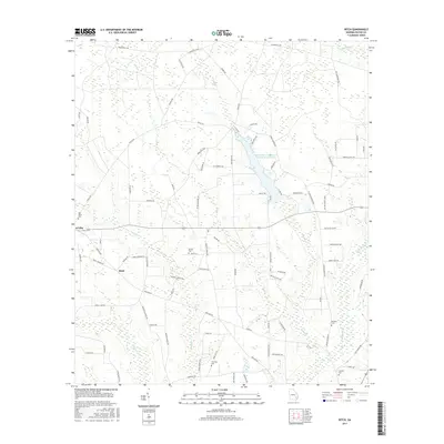
2017 Map of Ritch
USGS Topo · Published 2017About this map
K'Ville and Ritch define this rural landscape in Wayne County, Georgia, where a web of family-named roads connects small settlements and agricultural tracts. The geography is characterized by several slow-moving water bodies, most notably the Little Satilla Cr Structure Number Seven Lake and the winding course of Dry Cr. This area preserves a significant genealogical record through its distributed family burial grounds, including Old Ritch Cem, Smiths Cem, and Thornton Cem. The road network, with names like Empire School Rd and Odum Screven Rd, reflects the importance of local education and regional connectivity between Wayne and Screven counties. Further south, Stanfield sits near the headwaters of Colemans Cr, illustrating how small communities were historically situated along these vital coastal plain tributaries.
Find a feature on this map
87 named features on this map. Tap any name to fly to it.
Don’t see what you’re looking for? This feature index may not catch every label — zoom into the map to look around manually.
Map Details
Editions of this 2017 Ritch Map
This is the sole edition of this map. No revisions or reprints were ever made.
Other maps of this area

1918 · Jesup
USGS Topo · 1:62,500

1918 · Hortense
USGS Topo · 1:62,500

1943 · Jesup
USGS Topo · 1:62,500

1944 · Hortense
USGS Topo · 1:62,500

1946 · Brunswick
USGS Topo · 1:250,000

1948 · Brunswick
USGS Topo · 1:250,000

1953 · Waycross
USGS Topo · 1:250,000

1956 · Brunswick
USGS Topo · 1:250,000

1958 · Waycross
USGS Topo · 1:250,000

1961 · Brunswick
USGS Topo · 1:250,000