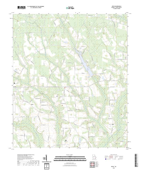
2024 Map of Ritch
USGS Topo · Published 2024About this map
K'Ville and Ritch define the settlement patterns of this Wayne County landscape, where small communities are interconnected by a dense network of country roads. The geography is dominated by the winding paths of Reedy Creek, Boggy Creek, and Little Satilla Creek, which drain into the lowlands and create the basin for Lake Lindsay Grace. This water system influenced the placement of early homesteads and family sites, many of which are now preserved in local landmarks such as Old Ritch Cem and Smiths Cem.
Find a feature on this map
90 named features on this map. Tap any name to fly to it.
Don’t see what you’re looking for? This feature index may not catch every label — zoom into the map to look around manually.
Map Details
Editions of this 2024 Ritch Map
This is the sole edition of this map. No revisions or reprints were ever made.
Other maps of this area

1918 · Jesup
USGS Topo · 1:62,500

1918 · Hortense
USGS Topo · 1:62,500

1943 · Jesup
USGS Topo · 1:62,500

1944 · Hortense
USGS Topo · 1:62,500

1946 · Brunswick
USGS Topo · 1:250,000

1948 · Brunswick
USGS Topo · 1:250,000

1953 · Waycross
USGS Topo · 1:250,000

1956 · Brunswick
USGS Topo · 1:250,000

1958 · Waycross
USGS Topo · 1:250,000

1961 · Brunswick
USGS Topo · 1:250,000