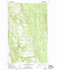
1965 Map of Ritz
USGS Topo · Published 1984About this map
North Bench dominates the lower landscape of this Idaho panhandle survey, where agricultural and timber interests meet the rising terrain of the Kaniksu National Forest. The map documents a specific infrastructure for the region's economy, including the Grain Elevator at De Voignes Spur and another siding at Watson Spur, both essential for moving local yields. Social and industrial markers like the Deer Park Community Hall and the Regal Mine indicate a established rural community. The drainage network of Fleming Creek, Bane Creek, and Meadow Creek feeds into notable water bodies like Templeman Lake and Smith Lake. This 1965 survey, with 1992 revisions, serves as a record of land use in Boundary County before modern shifts, detailing everything from the National Forest Boundary to local names like Turner Hill and Leslie Springs.
Find a feature on this map
46 named features on this map. Tap any name to fly to it.
Don’t see what you’re looking for? This feature index may not catch every label — zoom into the map to look around manually.
Map Details
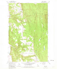
Editions of this 1965 Ritz Map
3 editions found
Other maps of this area

1911 · Priest Lake
USGS Topo · 1:250,000

1913 · Priest Lake
USGS Topo · 1:250,000

1958 · Sandpoint
USGS Topo · 1:250,000

1963 · Sandpoint
USGS Topo · 1:250,000

1965 · Meadow Creek
USGS Topo · 1:24,000

1965 · Farnham Peak
USGS Topo · 1:24,000

1965 · Eastport
USGS Topo · 1:24,000

1965 · Moravia
USGS Topo · 1:24,000

1965 · Ritz
USGS Topo · 1:24,000

1965 · Copeland
USGS Topo · 1:24,000